Your shopping cart is empty!
Continue shopping
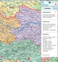
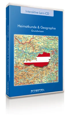
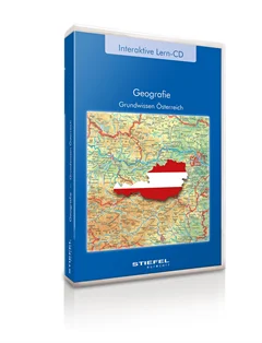
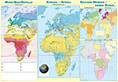
Grundwissen Österreich neu
Gesamtösterreich und alle Bundesländer basierend auf bewährten Schulwandkarten zur Vermitltung geographischen Grundwissens über Österreich
From
US$ 190.00