Your shopping cart is empty!
Continue shopping
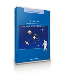
The programme "Basic Knowledge Solar System" step by step familiarises pupils with an elementary knowledge of the structure and functionality of our solar system. Themes like solar and lunar eclipse, day and night and the origin of the seasons are well and carefully explained and illustrated with pictures and drawings, including interactive training exercises. With these, pupils can easily practice their knowledge and discover the solar system – either by t... More
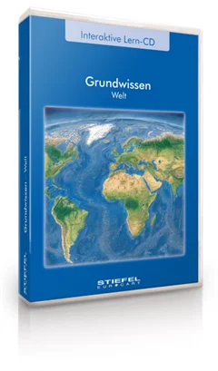
This interactive educational CD contains thematically different maps of the world and of the continents. Teachers and pupils can select groups of information in a targeted way and fade them in and out. In addition to playful activities for training geographic knowledge, interactive exercises make it easier to estimate spatial dimensions and to understand geographical terms.
Basics of Germany content several topics concerning the configuration and structure of Germany. Teachers and pupils can select special information and switch it on or off. The geographical knowledge is trained with playful exercises, which facilitate the rating of dimensions and the allocation of geographical terms.
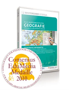
Das Lehrprogramm GEOGRAFIE INTERAKTIV umfasst neben physischen und politischen Karten spezielle Themenkarten für die Kartenarbeit. Weitere Materialien zu Themen wie beispielsweise das Gradnetz der Erde oder Plattentektonik runden die Materialsammlung für die Unterrichtseinheiten zu Kartografie und Geologie ab. In zahlreichen interaktiven Übungen, wie z.B. Städte lokalisieren oder Erdzeitalter zuordnen, können die Schüler das Ge... More
Die reich bebilderte Anwendung zeigt alle Klima- und Vegetationszonen dieser Erde mit Erläuterungen und Informationen. Die einzelnen Zonen können gemeinsam oder einzeln angewählt und dargestellt werden. Ein digitaler Malkasten erlaubt eigene Eintragungen und Notizen auf der Karte. Das Programm kann an unterschiedliche Darstellungsmöglichkeiten, je nach Monitor oder Beamer und verwendeter Grafikkarte angepasst werden.
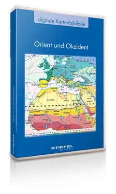
Dig. Kartenbildfolie: Orient und Okzident
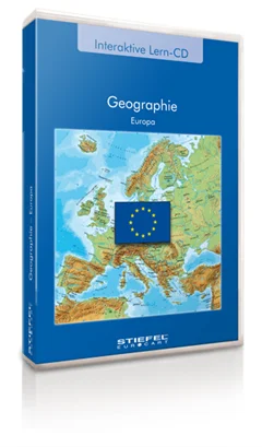
Diese interaktive Lern-CD beinhaltet unterschiedliche thematische Europadarstellungen. Lehrkräfte und Schüler können gezielt Informationsgruppen auswählen und diese ein- und ausblenden. Neben spielerischen Aufgaben, mit denen das geographische Wissen über Europa trainiert wird, erleichtern die interaktiven Übungen das Einschätzen räumlicher Dimensionen und das Zuordnen von geographischen Begriffen.
Administrative Maps Germany from STIEFEL

digital map picture book about the Austro-Hungarian monarchy
Program is only available in German language
Basics of Germany content several topics concerning the configuration and structure of Germany. Teachers and pupils can select special information and switch it on or off. The geographical knowledge is trained with playful exercises, which facilitate the rating of dimensions and the allocation of geographical terms.
Most important information about the large religions of the world. Very easy to understand and to use for active and interactive training.
This package includes several thematic maps of Germany for presentation and orientation. All pictures are optimised for presentation with beamers on interactive large format boards as well as they can be used for common use on similar PC-Systems. The pictures can be enlarged and printed. All map pictures are available without text and without text in a black and white reduced picture, if it should be printed for a practise papersheet work, for example.