Your shopping cart is empty!
Continue shopping
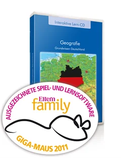
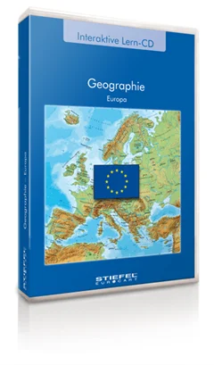
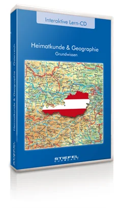
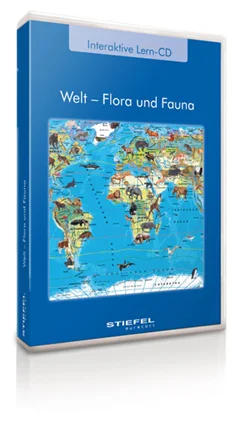
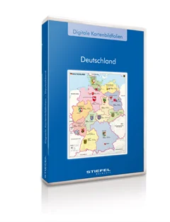
Basics of local history and geography of Germany (Only available in German)
Basics of Germany content several topics concerning the configuration and structure of Germany. Teachers and pupils can select special information and switch it on or off. The geographical knowledge is trained with playful exercises, which facilitate the rating of dimensions and the allocation of geographical terms.
From
US$ 190.00