Your shopping cart is empty!
Continue shopping
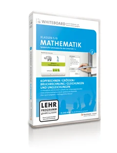
BG_Mathematik2
This software helps you to understand and train mathematic knowledge from the elementary school level up to the secondary school system.
From
US$ 163.34